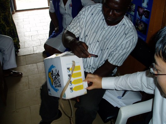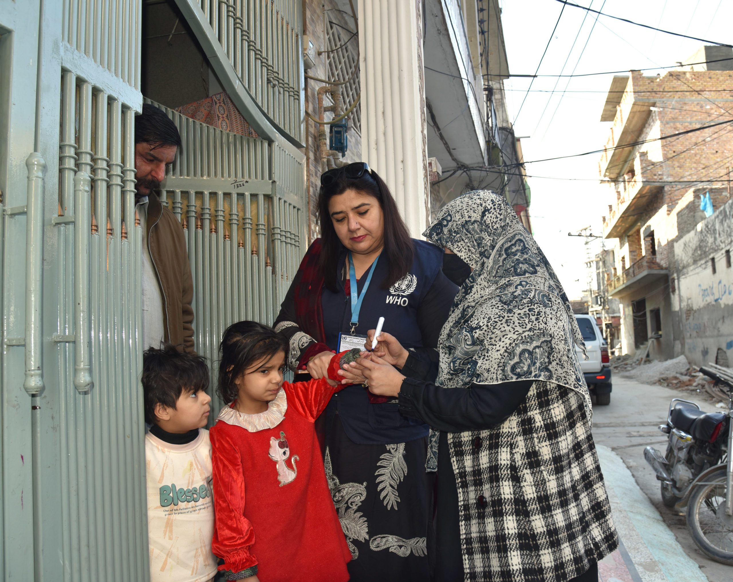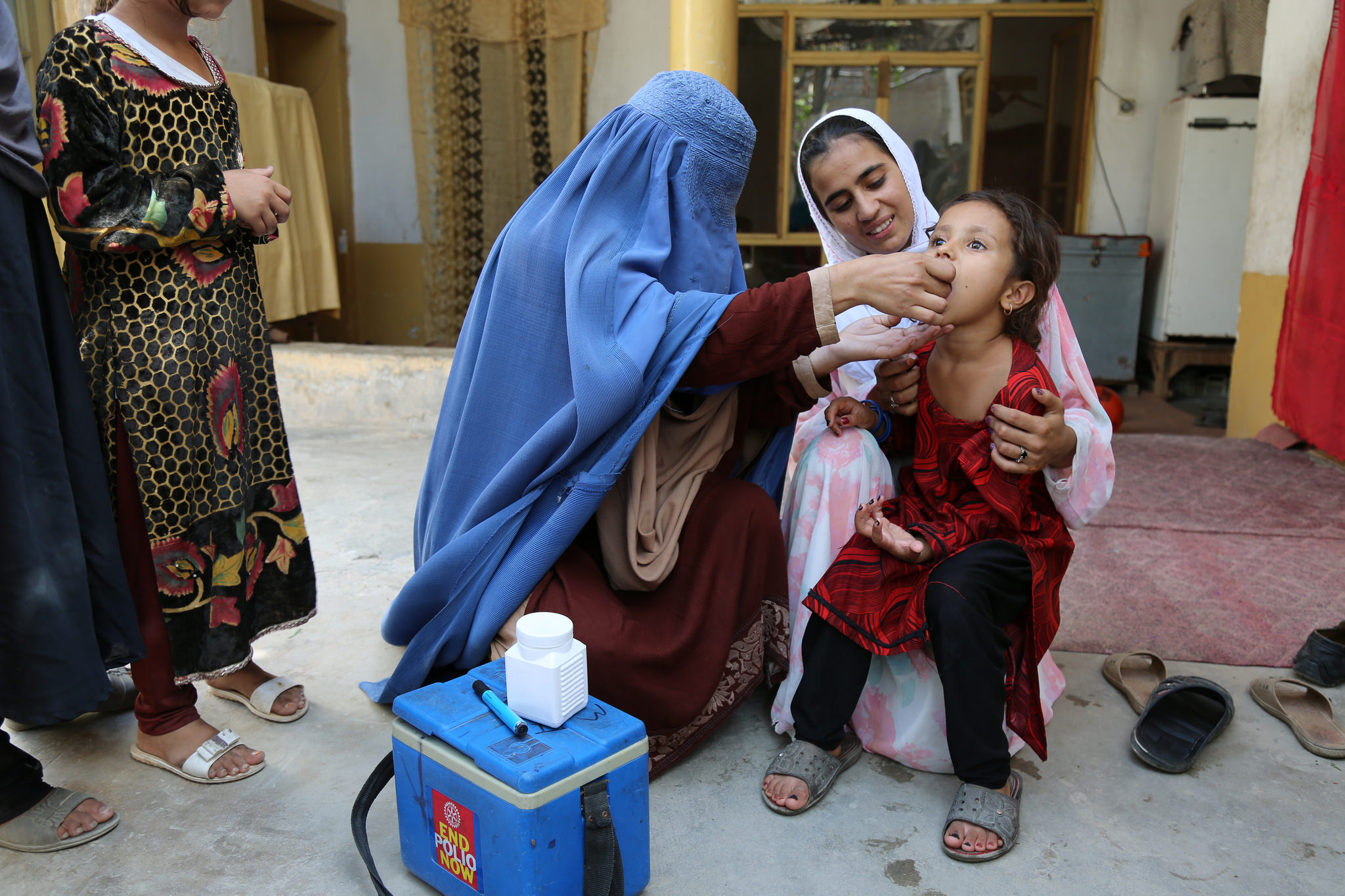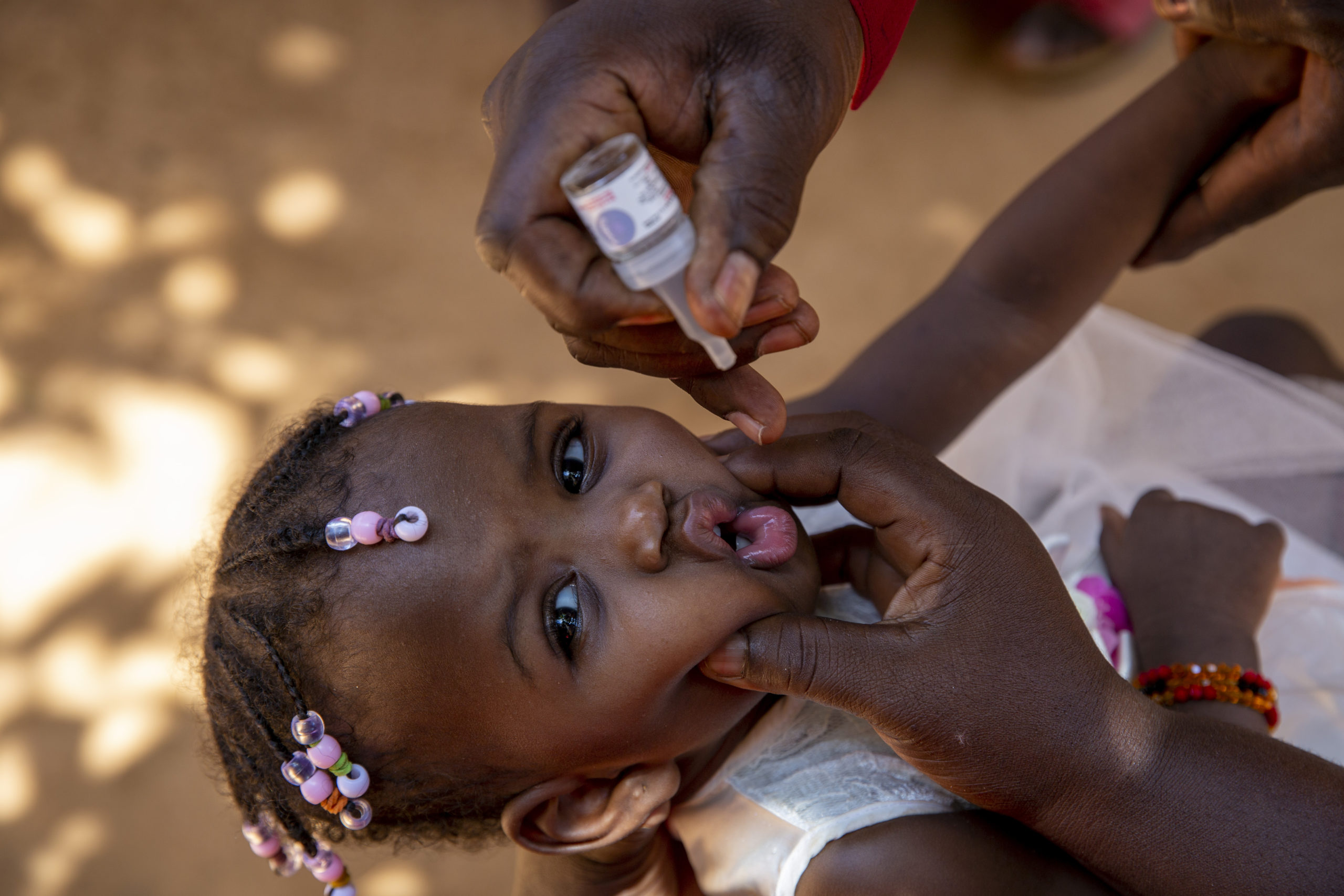
As part of ongoing efforts to further improve operational quality of supplementary immunization activities (SIAs), a pilot study was carried out in Nigeria in November to determine the feasibility of using Geographic Information Systems (GIS) to support both implementation and monitoring of SIAs. GIS is a tool that captures, stores, analyses and presents data linked to location(s). The technology has been applied widely in such fields as archeology, geography, cartography, urban planning and land surveying.
Five vaccination teams in Karu ward, AMAC Local Government Area in the Federal Capital Territory were equipped with GIS devices, which tracked and mapped the teams’ movements during the day, in relation to pre-prepared microplans. Analysis of the real-time data allowed for the immediate identification of possible missed areas, which were subsequently re-visited by the teams.
With the initial pilot demonstrating that GIS is useful to improve microplan development and implementation, the initiative will be scaled-up in early 2011 across high-risk areas of northern Nigeria. Successful application could also lead to integration of the new approach to key outbreak areas, including central Africa (Angola, Democratic Republic of the Congo and the Republic of Congo), where the quality of outbreak response has been hampered by operational issues. In the meantime, other pilot studies in Nigeria are exploring a range of new approaches to further sensitize tactics, including the use of Global Positioning Systems (GPS)-enabled mobile phones in end-process monitoring; network analysis to understand and address non-compliance; and, the establishment of local cross-function teams to monitor and rapidly improve SIA performance


