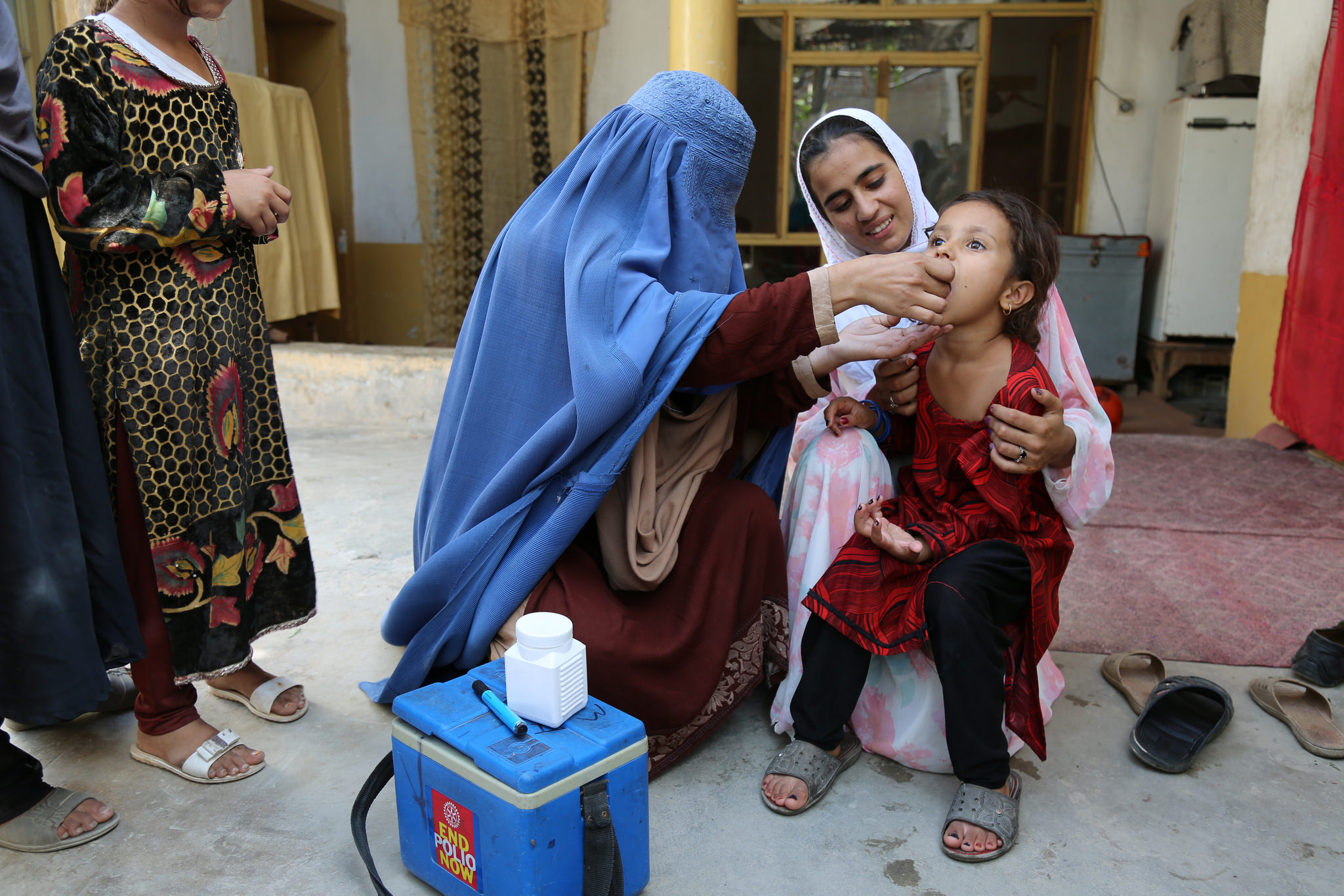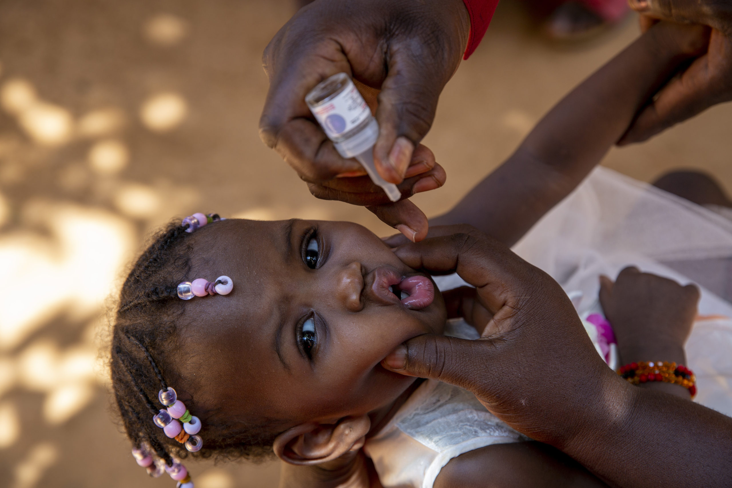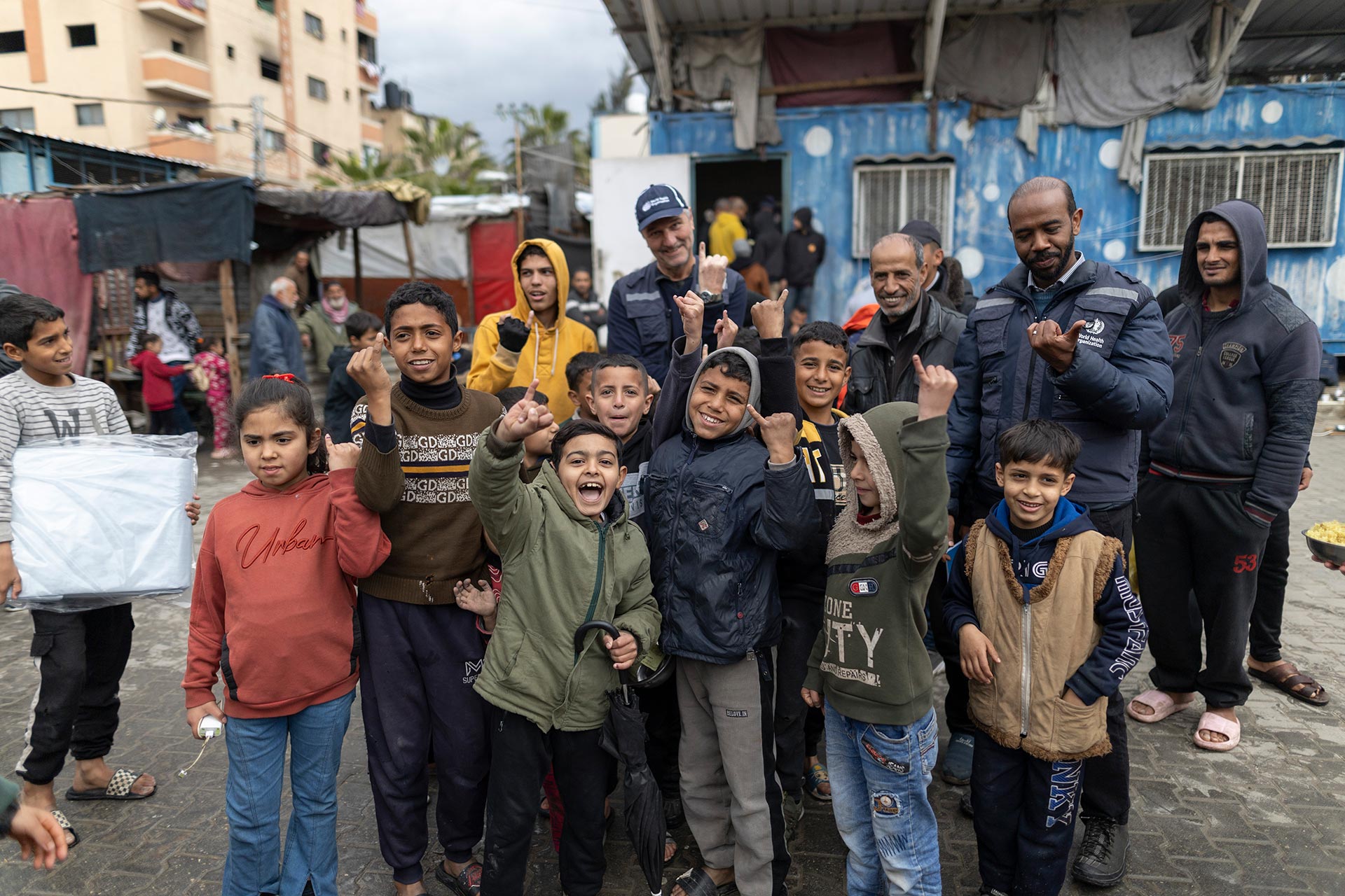
While the WHO Africa Region (AFRO) has been facing its last hurdle in eradicating polio of all types since being certified indigenous wild polio free in 2020, a circulating variant of polio virus type two has been present in 26 countries with more than 1,000 cases between them, coupled with the recent importation of two wild polio type 1 cases. To help reverse this trend, the WHO/AFRO Geographic Information Systems (GIS) Center is equipping over 200 key country office focal points and Ministry of Health personnel across 47 countries with essential innovative technologies to better address outbreaks with necessary speed and quality.
Concluding a series of one-week capacity-building workshops over the past six months and targeting of the WHO regions of Central, East & Southern, and West Africa – – the AFRO GIS Center, with the support of the Bill & Melinda Gates Foundation (BMGF), WHO HQ Polio Unit and GIS Centre for Health, the United States Centers for Disease Control and Prevention (CDC), and Novel-t on-boarded digital GIS and Mobile Health (mHealth) technologies to support regional and national agendas particularly on planning and analysis for improvement of surveillance, campaigns and outbreak response for polio and all other routine immunization and outbreaks. While the initial investment was made by polio these tools are being leveraged for all health interventions.
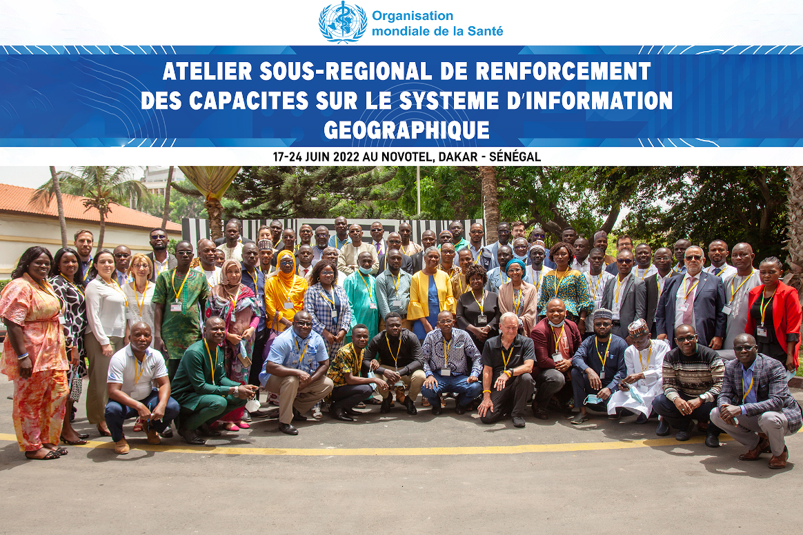
“These are solutions to advance national and regional agendas even beyond polio” stated Kebba Touray, Technical Manager – AFRO GIS Centre, “the COVID-19 pandemic response was able to advance using the AFRO polio GIS Centre’s technical support with the development of real-time data collection, analysis and monitoring tools and generated several products including dashboards (providing easy availability and visualization of information), which facilitated rapid decision making for response activities across the region.”
The GIS Capacity Building training transferred knowledge to key country office focal points and Ministry of Health personnel across Africa on innovations to better enable countries to:
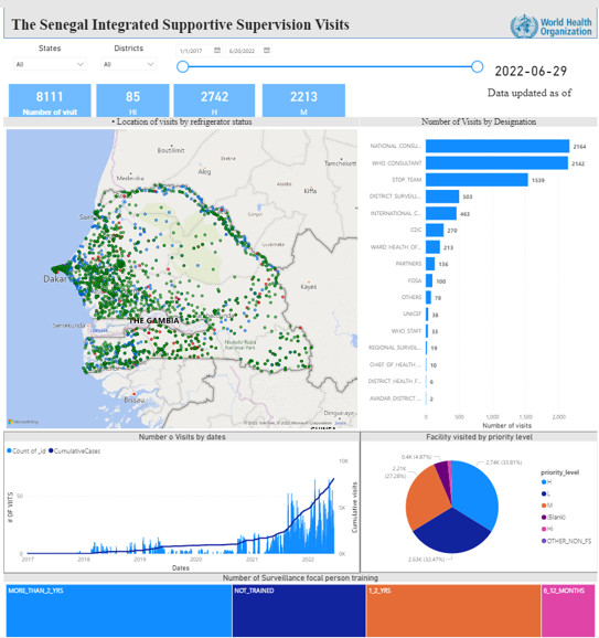
- Design country-level specific static and dynamic maps – using platforms such as Microsoft Power BI, and ArcGIS – for the outbreak response and provide real time analysis through the dashboards.
- Provide country specific information visualization (using Dashboards) to publish in the existing AFR-mHealth workspace at AFRO and in their respective public health systems.
- Develop data collection, data validation and monitoring mechanisms that provides increased accuracy on immunization information and populations through the Open Data Kit (ODK) platform to enhance mobile data collection.
- Use AFRO GIS and information visualization innovative solutions at country level to receive real-time information on active surveillance visits conducted at health facility level, environmental surveillance site performance, rapid population estimates data, vaccination team movement during polio campaigns, among others.
“I am particularly eager to take back the new capacity I have on ODK and PowerBI when monitoring our entire Expanded Programme on Immunization (EPI) interventions” stated participant Dexter Merchant, Assistant Director for Monitoring and Evaluation at the Ministry of Health in Liberia, “using ODK as the process to collect data on where we have essential services and where we don’t is going to make things move a lot faster and more efficiently in identifying gap, I am confident these tools will now be integrated in Liberia”.
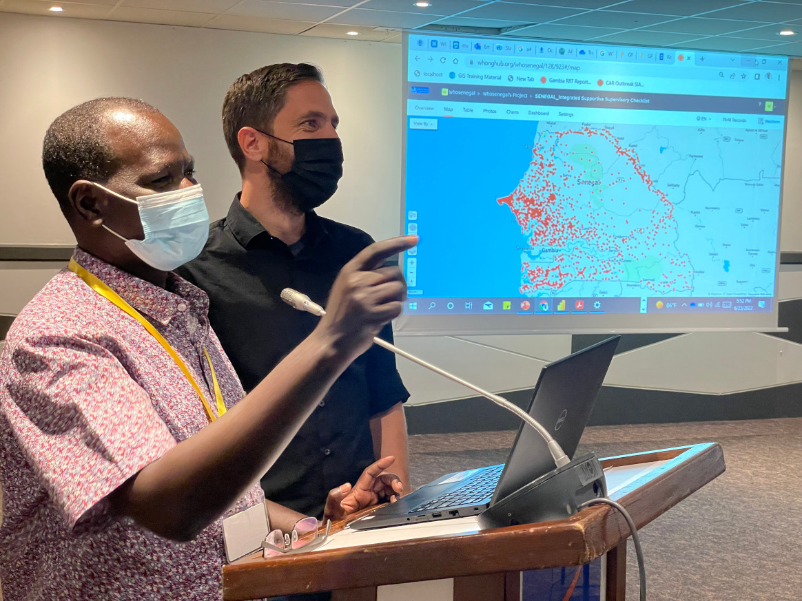
To ensure sustainability, country accountability and ownership, in-country GIS working groups which will constitute personnel from WHO and Ministries of Health will be established to continue efforts of knowledge transfer and capacity building principally amongst data managers, GIS analysts, and surveillance officers.
In closing, the WHO Representative in Senegal, Dr. Lucile Imboua and host of the last training series emphasized the “need to ensure harmonization of all the GIS tools and to be flexible to accommodate the use of other tools across different programs.”
The underlining consensus from all WHO, government and partner participants is that in order to end polio and strengthen health systems, the region heavily relies on the innovative technologies of GIS in executing health responses. The use of GIS innovations with precision in accuracy, transparency, accountability and ease of application and sustainability provides a huge opportunity to reach every last child across the 47 countries, eradicate polio from the region, and serve public health for all.

